


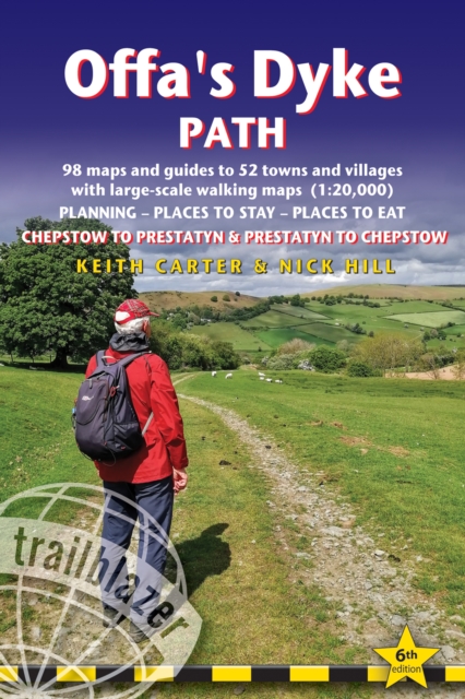

Offa's Dyke Path Trailblazer Walking Guide 6e
Keith Carter
Please note that this product is a pre-order. Its publication date is 08 Sept 2025. It will ship shortly after.
The Offa's Dyke Path is a superb national trail that runs from the North Wales coast to the Severn Estuary following the line of Offa's Dyke, an impressive 8th century earthwork along the English/Welsh border. The ever-changing landscape the Clwydian Range, the Shropshire Hills, the Black Mountains and the Wye Valley is steeped in history and legend providing 177 miles of fascinating walking.
This is an all-in-one two-way hiking route guide, maps and accommodations for the 177-mile Offa's Dyke Path in Wales, which runs along the border with England. Includes 87 large-scale walking maps (3 1/8 inches to 1 mile); 11 town maps and 15 overview maps. Full details of all accommodations and campsites, restaurants and pubs; plus full public transport information. Includes day-walks.
- Two-way guide - walk from north to south (Prestatyn to Chepstow) or south to north (Chepstow to Prestatyn)
- 11 town plans and 87 large-scale walking maps at just under 1:20,000 showing route times, places to stay, points of interest and much more
- Plus 14 overview maps Itineraries for all walkers whether walking the route in its entirety over seven to eight days or sampling the highlights on day walks and short breaks
- Practical information for all budgets camping, bunkhouses, hostels, B&Bs, pubs and hotels where to stay, where to eat, what to see, plus detailed street plans
- Comprehensive public transport information for all access points on the path.
- Flora and fauna four page flower guide, plus an illustrated section on local wildlife
- Green hiking understanding the local environment and minimizing our impact on it
- With downloadable gps waypoints now also with what3words references
- Includes extra colour sections: 16pp colour introduction and 16pp of colour mapping for stage sections (one stage per page) with trail profiles.


